Buying a lot or acreage in Mills River can feel exciting until questions pop up about boundaries, driveways, or where a future septic system could go. You want to build with confidence and avoid surprises after closing. This guide shows you when a survey is required or simply smart, which survey types fit mountain properties, local factors that matter in Henderson County, and practical next steps. Let’s dive in.
When a survey is required
There is no one law that forces every buyer to get a survey. Requirements depend on your lender, title company, plans for the property, and your risk tolerance. In Mills River, a survey is often effectively required or highly advisable in the situations below.
- Lender requirement for collateral: Many lenders want a current survey or a title endorsement, especially for raw land or larger tracts.
- New construction or major improvements: Permits for a house, driveway, septic, or a pool commonly require accurate boundaries and setbacks.
- Subdivision or lot-line changes: Creating new parcels or adjusting lines requires recorded plats and surveys.
- Suspected boundary or access issues: Any hint of encroachments, unclear deed descriptions, or shared-drive questions is a red flag.
- Mountain or rural acreage: Streams, slopes, and rights-of-way can limit usable land and access.
Skipping a survey can lead to costly problems later. Common risks include encroachments, lost usable area due to easements, floodplain or stream buffer constraints, and disputes over private road access or maintenance.
What surveys show in Mills River
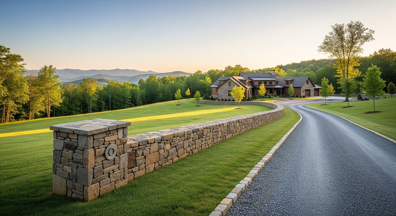
Mills River sits in a foothill and mountain setting near Asheville. Parcels can be steep, wooded, and crossed by ridgelines and intermittent streams. A survey helps you understand usable acreage, driveway feasibility, and where a home, well, and septic could go.
- Topography and slope: Contours and elevations inform driveway grades, earthwork, and potential retaining walls or culverts.
- Streams and buffers: Stream setbacks and septic rules affect where you can build and place systems. Use the FEMA Flood Map Service Center to check flood zones.
- Easements and access: Utility lines, private drive easements, and rights-of-way can limit building envelopes. A survey shows locations and dimensions.
- Septic and well siting: Environmental Health approvals rely on accurate boundaries and setbacks from property lines, wells, and streams.
Survey types explained
Boundary (or “mortgage”) survey
A boundary survey locates corners and shows property lines based on the deed, monuments, and records. It often satisfies lender needs for residential lots and gives peace of mind about acreage and boundaries. Corners are staked, distances and angles are shown, and recorded easements are noted.
Improvement or as-built survey
This shows buildings, driveways, fences, and other improvements in relation to property lines. It is useful to confirm that structures sit within boundaries and setbacks and to identify potential encroachments.
Topographic survey
A topo survey maps elevations, contours, streams, rock outcrops, and significant site features. On mountain and foothill lots, it is essential for driveway design, site planning, and septic placement.
ALTA/NSPS Land Title Survey
This commercial-grade survey follows ALTA/NSPS Minimum Standard Detail Requirements, updated in 2021. Lenders or title companies may require it for large or complex parcels or when precise easement and title detail is needed. If you order one, specify the standard year.
FEMA elevation certificate
An elevation certificate establishes finished-floor elevation relative to base flood elevation and may be required for certain lending or flood insurance situations. It is relevant if any part of the parcel falls within a mapped flood zone.
Septic/site evaluation and soil assessment
This is not a boundary survey, but it often goes hand-in-hand with topo work. It evaluates soil suitability and potential locations for an onsite wastewater system, which is common for rural Henderson County properties.
Subdivision or plat survey
If you plan to split a parcel or create new lots, you will need a survey and a recorded plat through local authorities. If an existing recorded plat exists, your surveyor will review it.
Local rules and resources
- Henderson County Environmental Health manages septic permitting and site evaluations. Boundary and topo details help verify setbacks from property lines, wells, and streams.
- Henderson County Planning and Zoning and, if inside town limits, the Town of Mills River, set setbacks, minimum lot sizes for septic, and other rules that shape where you can build.
- Use the FEMA Flood Map Service Center to check floodplain designations that may affect building and insurance.
- Confirm your surveyor is licensed in North Carolina using the North Carolina Board for Professional Engineers and Land Surveyors.
- Screen soils early with the USDA NRCS Web Soil Survey before paying for site-specific tests.
Title companies can sometimes issue endorsements that address boundary matters, but underwriters often prefer a current, stamped survey, especially where unrecorded issues are possible. Always confirm requirements with your title company.
Buyer checklist and timing
Before you write an offer
- Review Henderson County GIS maps, recorded plats, and any known easements or flood zones.
- Ask the seller for any prior surveys, septic records, permits, or plat maps.
- Walk the site. Look for driveways, shared roads, fences, streams, and steep slopes.
When to add a survey contingency
Include a survey contingency or require a current boundary and improvement survey if you are:
- Buying acreage or raw land
- Planning to build, install septic, or create a driveway
- Relying on private or shared access
- Seeing possible encroachments or missing lot corners
What to order
- Typical recorded lot with a home: boundary and improvement survey.
- New construction or complex title: boundary plus topographic, and possibly ALTA/NSPS if lender or title requests it.
- Large tracts or commercial financing: ALTA/NSPS Land Title Survey.
What to require from the surveyor
- North Carolina license, stamp, and signature
- Clear corners and distances; location of structures and improvements
- Recorded easements and any encroachments
- If needed: contours, stream/wetland locations, and proposed septic or well locations
- A digital copy for design and permitting use
Smart questions to ask
- Do you work regularly in Henderson County and on mountain properties?
- Will you show potential building envelopes and typical setbacks on the drawing?
- How do you handle conflicts between deed calls and found monuments?
- What is the expected turnaround time and cost range for this parcel?
Costs you can expect
Survey fees vary by acreage, tree cover, slope, access, and the level of detail required. Ask for a written estimate.
- Small residential-lot boundary survey: 400 to 1,200 dollars
- Acreage with moderate complexity: 1,000 to 3,000 dollars
- Large, steep, wooded tracts or ALTA/NSPS/topo combos: 2,500 to 7,500 dollars or more
- Septic perc and site evaluation: separate fees charged by environmental professionals and the county
Order early so you have time to resolve issues before closing. Coordinate with your lender and title company if financing is involved.
If your survey finds an issue
Surveys sometimes reveal encroachments, easements through buildable areas, ambiguous access, or floodplain impacts. If that happens, you can ask the seller to cure the issue, negotiate a price adjustment, or secure appropriate title insurance endorsements. If the contract allows, you can also cancel during your contingency period. Discuss remedies with your agent, title company, and counsel before you decide.
Ready to build with confidence?
A current, stamped survey is one of the best tools you have to protect your plans and your budget in Mills River. It clarifies boundaries, access, and buildable area so you can move forward with fewer surprises. If you want help coordinating local surveyors, aligning your due diligence with your timeline, and keeping your purchase on track, reach out to the Mary Sitton team for steady, experienced guidance.
FAQs
Do I need a survey to buy a home or land in Mills River?
- Not always, but lenders, title companies, and county permitting often make it necessary, and it is strongly recommended for land, new construction, or any property with access or boundary questions.
Which survey is best for a mountain lot in Henderson County?
- A boundary plus topographic survey is common for mountain or sloped sites, with an improvement survey added if structures or driveways need to be verified for encroachments.
Will I need a survey for a septic permit in Mills River?
- Yes, you generally need accurate boundaries and setbacks for Environmental Health to approve onsite wastewater systems, and a topo survey helps with siting the system and home.
How much does a typical boundary survey cost locally?
- Small-lot boundary surveys often run 400 to 1,200 dollars, while acreage with slope or woods can range from 1,000 to 3,000 dollars, and complex ALTA or topo work can be higher.
What if a neighbor’s fence or driveway crosses my line?
- Your options include asking the seller to cure the encroachment, negotiating concessions, obtaining title endorsements, or cancelling under your survey contingency if allowed.
How do I verify my surveyor is licensed in North Carolina?
- Check the professional’s status through the North Carolina Board for Professional Engineers and Land Surveyors and confirm their experience with Henderson County parcels.